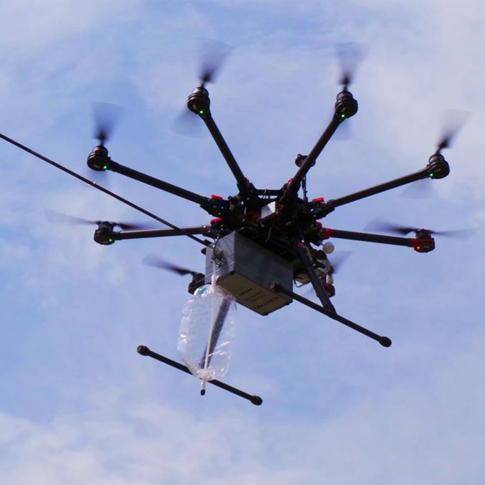
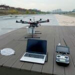
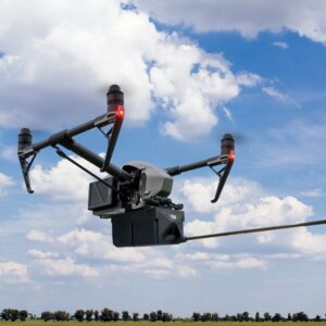
The Scentroid DR1000 Drone-Based Air Quality Analyzer can be used to sample and analyze ambient air at heights of up to 125 meters above ground level
The Scentroid DR1000 Drone-Based Air Quality Analyzer can be used to sample and analyze ambient air at heights of up to 125 meters above ground level. This was previously impossible to accomplish. Air quality mapping, model verification, and analysis of potentially dangerous sites have all now been made possible. While in flight, five built-in chemical sensors can provide remote monitoring of chemicals selected at the time of ordering.
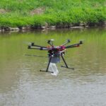
It is often used to sample stacks, ponds, and other locations where human access is difficult and / or dangerous. Furthermore, operator exposure to dangerous chemicals during sampling must be carefully considered. This is because the Scentroid DR1000 Drone-Based Air Quality Analyzer allows the operator to stay safely away from any potentially hazardous sources while acquiring the required air sample for laboratory analysis.
Drone-Based Air Quality Analyzer Applications:
The DR1000 Flying laboratory provides a robust platform to conduct impact assessment and air quality measurement for a wide range of applications including monitoring of:
- Fugitive emission
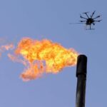
- Flare emission
- Leak detection along oil pipe lines
- Landfill methane and odor emission
And much more!
Continuous Chemical Monitoring:
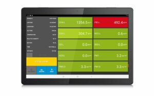
In addition to air sample bag collections, the Scentroid DR1000 flying laboratory is capable of providing up to five remote chemical sensors to monitor chemical concentration levels. Data from on-board sensors are transmitted to a customer-supplied operator’s Android phone to be viewed live and logged. While in flight, every 2 seconds the drone will record GPS positions, altitude, temperature, humidity, H2S, VOC, SO2, Methane and any chemical that is being monitored. Data can be used to create a map of the emission plume in real-time.
Communication with Drone-Based Air Quality Analyzer:
DR1000 will come with simultaneous GPRS and Wi-Fi communication capabilities. GPRS is used to send data to our new cloud-server-based Drone Information Management System (DRIMS). Our secure online system will allow you to remotely monitor and even control the flying laboratory as well as store and process the data collected. Every drone also connects to the ground station using Wi-Fi communication protocol. Both Ground-station and Cloud-based servers run DRIMS software and can simultaneously log data from multiple DR1000 drones.
Ground Station:
The Ground station that is included with every DR1000 Flying Laboratory consists of a specialized laptop with pre-installed Ubuntu and Windows 10 operating systems, high gain powerful Wi-Fi antenna, and DRIMS software. DRIMS (Drone Information Management Software) provides the user with the means to control the flying laboratory and log all acquired data. DRIMS will provide both live data as well as all historical data for all sensors plus GPS position, Altitude, Temperature, and humidity. Users can also command the drone when to take the sample, select the sampling interval, adjust sampling rate and perform routine maintenance such as calibration of sensors. The laptop will be dual boot and can be used for other work including mapping the data in a GIS software, viewing path on Google Earth, analyzing in Excel, or any other task.
Dimensions and Weight:
10.2″ x 6.3″ x 7″ x 7.5 lbs
Recommended Companion Drones:
Any rotary-wing-based or fixed-wing drone that can support a payload of 3.5 kg or more. For example, the DJI S1000 or the DJI Matrice 600 are perfect companions


